Google Earth isn’t only great for finding wrasse marks, but it’s also very useful at working out where to fish once you’re there.
I can see in the Google image that this mark is predominately rough ground, with the odd patch of clean sand. The area in red is where I plan on fishing. I’ll now take a screen shot of the image.
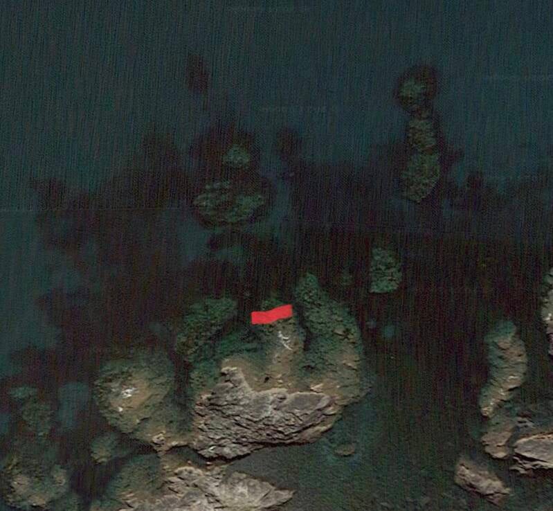
Once I’m down and fishing, I can see what areas to cover and which areas to avoid. Areas to avoid might consist of large submerged rocks, which you obviously don’t want to cast over.
Visiting at low tide in calm, clear conditions will help determine hazardous spots.
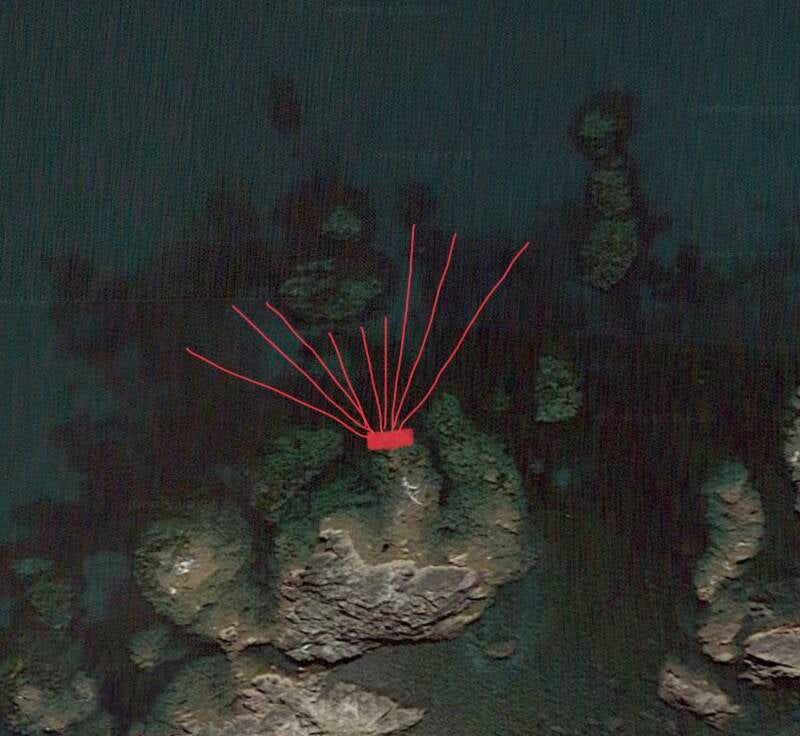
This particular patch has produced wrasse up to 5lb 9oz, with the one in the picture below nudging a little over 4lb, which hit at spot A just off the patch of rock, around 10 yards in front of me.


Add comment
Comments